

Oxford is a delightful city and sufficiently compact to enable you to walk around its heart and enjoy the atmosphere, the architecture and the history of the place. Rather than meander aimlessly, however, we decided to conduct our walking tour taking Edmund Crispin’s The Moving Toyshop as our guidebook.
We began our tour at location A on the map which serves as the frontispiece for the book: The Toyshop (second position). Here we encountered our first dilemma. The large, even one might say, grand houses and buildings on the side of the Banbury Road indicated by the map were patently of greater vintage than the novel and looked exceedingly unlikely to have ever been used as retail emporia of any description. We therefore concluded that we must move the Toyshop a second time and transpose it to the other side of the road where a delightful row of shops was to be found.

Walking down the Banbury Road we reached the site of St Christophers, which was a little underwhelming, but we persevered.

Continuing down the broad expanse of St Giles’ we reached St John’s, which proved much more impressive.

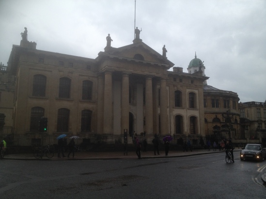
We continued our walk to the junction of St Giles’ and Broad Street where we reached the magnificent Balliol College.

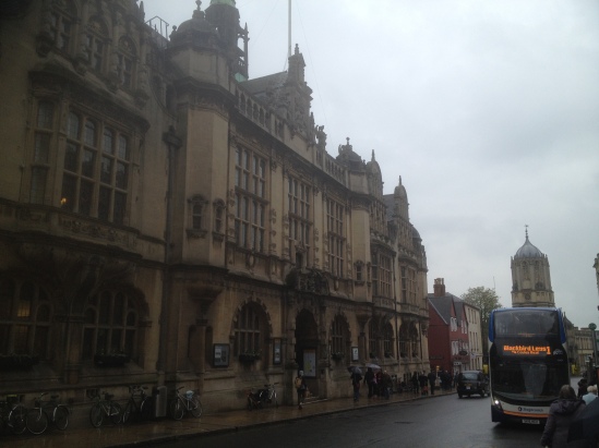
Walking along Broad Street we reached the delightful garden courtyards of the equally impressive Trinity.

Retracing our steps we came to the junction of Cornmarket and George Street where we found Lennox’s shrouded in plastic sheeting and scaffolding for restoration works.

Continuing along George Street we reached the corner of New Inn Hall Street where we found the Mace and Sceptre public house, now gone the way of so many of our public houses and been subsumed into a chain of Irish Bars to become O’Neills.

We then returned to Broad Street to see the very much still functioning Sheldonian.
A further U-turn brought us back to Cornmarket down which we walked to reach Rosseter’s Office.

And on the opposite corner, though better viewed perhaps from a little way along the High Street, the Market.

A short walk down St Aldate’s brought us to the council offices on the site of Crispin’s police station.
Here we broke off from our Crispin tour to take a small diversion down a lane off St Aldate’s to visit the house where Dorothy L. Sayers was born and spent her early years.


We then walked along the High Street and crossed the Magdalen Bridge to reach the junction from which the Iffley Road proceeds to find the location of the Toyshop’s first position. However, here Crispin’s map diverges even more from reality. The Iffley Road is not the one so-labelled in Crispin’s map. Instead it is the one which goes down off the bottom of the map. It is in any case flanked by genteel houses which clearly would never have been home to a Toyshop, however, briefly. We therefore followed the Cowley Road (which corresponds to what Crispin calls the Iffley Road on the map – i.e. the middle one of the three roads out of the city centre at that junction) to end our walking tour at the site of the Toyshop’s first position. So, albeit the address is on Cowley Road not Iffley Road, we are sure that on this occasion we have not subjected the Toyshop to the further indignity of another unnecessary move.

